O1742 : Dublin Airport - South Perimeter Road
taken 17 years ago, near to Santry, Dublin, Ireland
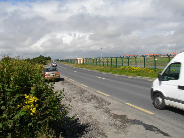
Dublin Airport - South Perimeter Road
Running parallel to the main runway, cars make use of the hard shoulder on the entire length of this road to survey all the landings and take-offs from the country's busiest airport - bar none.
![Creative Commons Licence [Some Rights Reserved]](https://s1.geograph.org.uk/img/somerights20.gif)
|
· Find out How to reuse this image ·
Share:
|
|||||
|
There are 7 posts in a
discussion on O1742 (preview on the left) |
Suggest an update to this image | Contact the contributor | |||
Loading map... (JavaScript required)
- Grid Square
- O1742, 17 images (more nearby
 )
)
- Photographer
- Raymond Okonski (find more nearby)
- Date Taken
- Tuesday, 14 August, 2007 (more nearby)
- Submitted
- Friday, 17 August, 2007
- Category
- Airfield (more nearby)
- Subject Location
-
Irish:
 O 171 423 [100m precision]
WGS84: 53:25.0828N 6:14.3683W - Camera Location
-
Irish: O 171 423
- View Direction
- WEST (about 270 degrees)
Image classification(about):
Geograph (Second Visitor for O1742)
This page has been viewed about 88 times.
View this location:
KML (Google Earth) ·
Google Maps ·
Bing Maps ·
Geograph Coverage Map ·
More Links for this image
·
Bing Maps ·
Geograph Coverage Map ·
More Links for this image