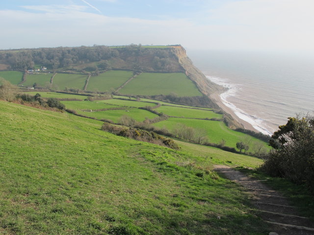
SY1487 : Salcombe Mouth from South Combe Farm
taken 7 years ago, near to Salcombe Regis, Devon, England
The King Charles III England Coast Path (ECP) will take advantage of new public rights of access to the coast, to form a 2,800 mile long public path right around England's coasts.
Parts of the path were already open in 2016, and it was intended at that time that the whole path would be completed by 2020. At that time, the path was called the England Coast Path. It was renamed King Charles III England Coast Path in 2023, in honour of the King's coronation.
More information about the ECP is on the National Trails website: Link
The South West Coast Path National Trail - 630 miles of superb coastal walking. From Minehead on the edge of the Exmoor National Park to the shores of Poole Harbour in Dorset. It is the longest of all Britain's National Trails.
Website: Link
 Map © Crown Copyright")
- Grid Square
- SY1487, 65 images (more nearby 🔍)
- Photographer
- David Hawgood (more nearby)
- Date Taken
- Monday, 13 February, 2017 (more nearby)
- Submitted
- Friday, 17 February, 2017
- Subject Location
-
OSGB36:
 SY 1458 8773 [10m precision]
WGS84: 50:40.9760N 3:12.6276W - Camera Location
-
OSGB36: SY 1408 8774
- View Direction
- EAST (about 90 degrees)