H9430 : Sheugh in an area of wetland east of Aghincurk Road
taken 8 years ago, 3 km from Newtownhamilton, Co Armagh, Northern Ireland
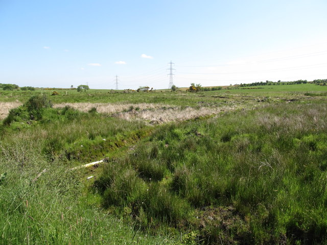
Sheugh in an area of wetland east of Aghincurk Road
In Scots and Ulster Scots a sheugh is a ditch, a furrow or a trough and by extension the sea between Ulster and the UK mainland is also referred to as The Sheugh.
See other images of Sheugh/Sheuch
See other images of Sheugh/Sheuch
![Creative Commons Licence [Some Rights Reserved]](https://s1.geograph.org.uk/img/somerights20.gif)
|
· Find out How to reuse this image ·
Share:
|
|||||
| Start a discussion on H9430 | Suggest an update to this image | Contact the contributor | |||
Loading map... (JavaScript required)
- Grid Square
- H9430, 26 images (more nearby
 )
)
- Photographer
- Eric Jones (find more nearby)
- Date Taken
- Friday, 3 June, 2016 (more nearby)
- Submitted
- Saturday, 18 February, 2017
- Geographical Context
- Subject Location
-
Irish:
 H 944 305 [100m precision]
WGS84: 54:12.8845N 6:33.1505W - Camera Location
-
Irish: H 946 302
- View Direction
- Northwest (about 315 degrees)
This page has been viewed about 18 times.
View this location:
KML (Google Earth) ·
Google Maps ·
Bing Maps ·
Geograph Coverage Map ·
More Links for this image
·
Bing Maps ·
Geograph Coverage Map ·
More Links for this image