H9431 : View across reclaimed land towards Aghincurk Road
taken 8 years ago, 4 km NNE of Newtownhamilton, Co Armagh, Northern Ireland
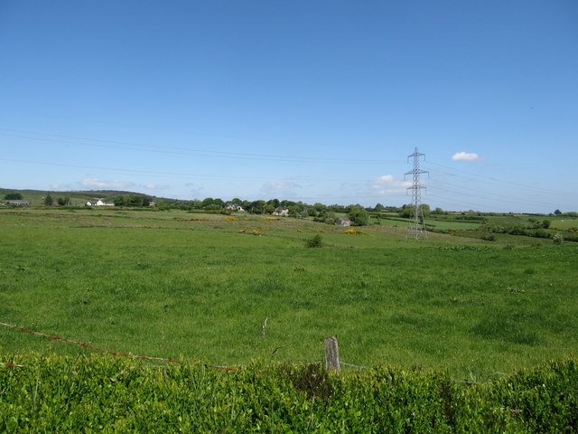
View across reclaimed land towards Aghincurk Road
The image taken from Dairy Lane shows both the North-South Interconnector and settlement accessed from Aghincurk Road.
The North-South Interconnector
The North-South Interconnector between Louth in the Republic of Ireland and Tandragee in Northern Ireland has two 275kV circuits, each of 600MW capacity. It is used to trade electricity between the two countries with most of electricity currently being transferred southwards from power stations in the North.
Link
![Creative Commons Licence [Some Rights Reserved]](https://s1.geograph.org.uk/img/somerights20.gif)
|
· Find out How to reuse this image ·
Share:
|
|||||
| Start a discussion on H9431 | Suggest an update to this image | Contact the contributor | |||
Loading map... (JavaScript required)
- Grid Square
- H9431, 6 images (more nearby
 )
)
- Photographer
- Eric Jones (find more nearby)
- Date Taken
- Friday, 3 June, 2016 (more nearby)
- Submitted
- Sunday, 19 February, 2017
- Geographical Context
- Subject Location
-
Irish:
 H 947 312 [100m precision]
WGS84: 54:13.3069N 6:32.8597W - Camera Location
-
Irish: H 949 310
- View Direction
- Northwest (about 315 degrees)
This page has been viewed about 41 times.
View this location:
KML (Google Earth) ·
Google Maps ·
Bing Maps ·
Geograph Coverage Map ·
More Links for this image
·
Bing Maps ·
Geograph Coverage Map ·
More Links for this image