H7337 : Drumlin overlooking the Cor River
taken 8 years ago, near to Killyneill, Co Monaghan, Ireland
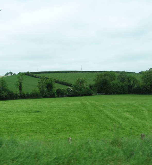
Drumlin overlooking the Cor River
Here, the river marks the boundary between the two jurisdictions.
![Creative Commons Licence [Some Rights Reserved]](https://s1.geograph.org.uk/img/somerights20.gif)
|
· Find out How to reuse this image ·
Share:
|
|||||
| Start a discussion on H7337 | Suggest an update to this image | Contact the contributor | |||
Loading map... (JavaScript required)
- Grid Square
- H7337, 3 images (more nearby
 )
)
- Photographer
- Eric Jones (find more nearby)
- Date Taken
- Saturday, 4 June, 2016 (more nearby)
- Submitted
- Wednesday, 22 February, 2017
- Geographical Context
- Subject Location
-
Irish:
 H 738 370 [100m precision]
WGS84: 54:16.6227N 6:52.0041W - Camera Location
-
Irish: H 740 370
- View Direction
- WEST (about 270 degrees)
Image Type (about):
cross grid
This page has been viewed about 35 times.
View this location:
KML (Google Earth) ·
Google Maps ·
Bing Maps ·
Geograph Coverage Map ·
More Links for this image
·
Bing Maps ·
Geograph Coverage Map ·
More Links for this image