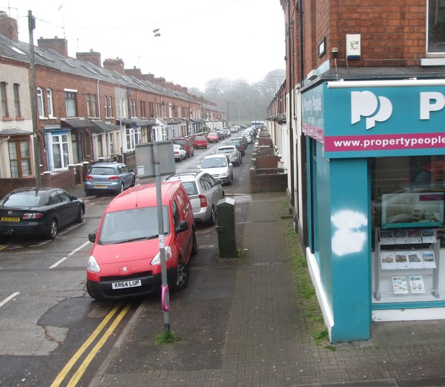
J3472 : Sraid Rutland/Rutland Street in the Nationalist Lower Ormeau area
taken 7 years ago, near to Belfast, Co Antrim, Northern Ireland
![Creative Commons Licence [Some Rights Reserved]](https://s1.geograph.org.uk/img/somerights20.gif)
|
· Find out How to reuse this image ·
Share:
|
|||||
| Start a discussion on J3472 | Suggest an update to this image | Contact the contributor | |||
Loading map... (JavaScript required)
- Grid Square
- J3472, 419 images (more nearby
 )
)
- Photographer
- Eric Jones (find more nearby)
- Date Taken
- Tuesday, 28 March, 2017 (more nearby)
- Submitted
- Wednesday, 29 March, 2017
- Geographical Context
- Subject Location
-
Irish:
 J 344 727 [100m precision]
WGS84: 54:35.0923N 5:55.3132W - Camera Location
-
Irish: J 343 727
- View Direction
- EAST (about 90 degrees)
This page has been viewed about 44 times.
View this location:
KML (Google Earth) ·
Google Maps ·
Bing Maps ·
Geograph Coverage Map ·
More Links for this image
·
Bing Maps ·
Geograph Coverage Map ·
More Links for this image