2017
NY2255 : Bridleway at Kirkbride
taken 7 years ago, near to Kirkbride, Cumbria, England
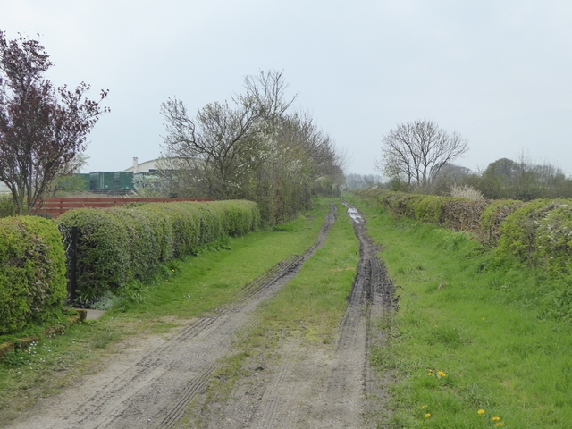
Bridleway at Kirkbride
Leading to Longlands Head Farm. The arched structure is one of the hangars of the disused RAF Kirkbride airfield.
 Map © Crown Copyright")
TIP: Click the map for more Large scale mapping
- Grid Square
- NY2255, 12 images (more nearby 🔍)
- Photographer
- Oliver Dixon (more nearby)
- Date Taken
- Sunday, 9 April, 2017 (more nearby)
- Submitted
- Monday, 10 April, 2017
- Subject Location
-
OSGB36:
 NY 2292 5589 [10m precision]
WGS84: 54:53.5068N 3:12.1954W - Camera Location
-
OSGB36: NY 22960 55942
- View Direction
- Southwest (about 225 degrees)