2017
NY2455 : River Wampool at the Laythes
taken 7 years ago, near to Kirkbride, Cumbria, England
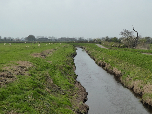
River Wampool at the Laythes
Looking upstream. The road runs to Kirkbride. The silhouette of hangars on the old RAF Kirkbride airfield can be seen in the distance.
 Map © Crown Copyright")
TIP: Click the map for more Large scale mapping
- Grid Square
- NY2455, 4 images (more nearby 🔍)
- Photographer
- Oliver Dixon (more nearby)
- Date Taken
- Sunday, 9 April, 2017 (more nearby)
- Submitted
- Tuesday, 11 April, 2017
- Subject Location
-
OSGB36:
 NY 2421 5566 [10m precision]
WGS84: 54:53.3947N 3:10.9854W - Camera Location
-
OSGB36: NY 24272 55675
- View Direction
- West-southwest (about 247 degrees)