J1665 : The Moira Road, Ballylacky, Moira/Ballinderry (May 2017)
taken 7 years ago, near to Maghaberry, Co Antrim, Northern Ireland
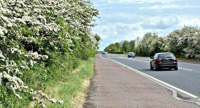
The Moira Road, Ballylacky, Moira/Ballinderry (May 2017)
See J1662 : Crawler lane, Magheramesk, Moira (May 2017). The same road, further north. Almost 40 years ago I used to pass here quite frequently. My thoughts were not so much on the traffic (almost none then) but whether the landscaping would ever grow!
![Creative Commons Licence [Some Rights Reserved]](https://s1.geograph.org.uk/img/somerights20.gif)
|
· Find out How to reuse this image ·
Share:
|
|||||
| Start a discussion on J1665 | Suggest an update to this image | Contact the contributor | |||
Loading map... (JavaScript required)
- Grid Square
- J1665, 10 images (more nearby
 )
)
- Photographer
- Albert Bridge (find more nearby)
- Date Taken
- Saturday, 20 May, 2017 (more nearby)
- Submitted
- Saturday, 20 May, 2017
- Geographical Context
- Primary Subject of Photo
- Subject Location
-
Irish:
 J 160 653 [100m precision]
WGS84: 54:31.4047N 6:12.4791W - Camera Location
-
Irish: J 160 653
- View Direction
- North-northeast (about 22 degrees)
Other Tags
This page has been viewed about 42 times.
View this location:
KML (Google Earth) ·
Google Maps ·
Bing Maps ·
Geograph Coverage Map ·
More Links for this image
·
Bing Maps ·
Geograph Coverage Map ·
More Links for this image