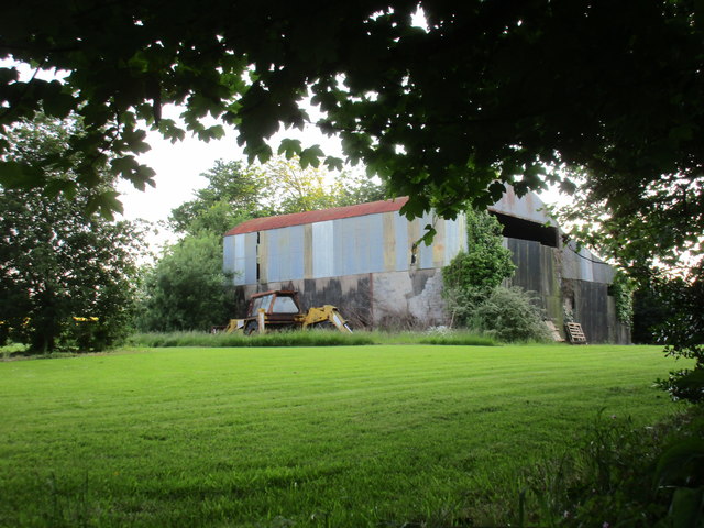
X1082 : Farm buildings by O'Loughtane Cross Roads
taken 7 years ago, 3 km from Clashmore, Co Waterford, Ireland
![Creative Commons Licence [Some Rights Reserved]](https://s1.geograph.org.uk/img/somerights20.gif)
|
· Find out How to reuse this image ·
Share:
|
|||||
| Start a discussion on X1082 | Suggest an update to this image | Contact the contributor | |||
Loading map... (JavaScript required)
- Grid Square
- X1082, 2 images (more nearby
 )
)
- Photographer
- Jonathan Thacker (find more nearby)
- Date Taken
- Friday, 16 June, 2017 (more nearby)
- Submitted
- Saturday, 17 June, 2017
- Geographical Context
- Subject Location
-
Irish:
 X 102 821 [100m precision]
WGS84: 51:59.5262N 7:51.1343W - Camera Location
-
Irish: X 102 822
- View Direction
- Southwest (about 225 degrees)
This page has been viewed about 22 times.
View this location:
KML (Google Earth) ·
Google Maps ·
Bing Maps ·
Geograph Coverage Map ·
More Links for this image
·
Bing Maps ·
Geograph Coverage Map ·
More Links for this image