2017
TQ4652 : London Countryway in Kent (216)
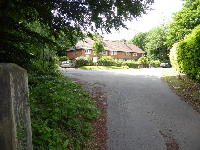
taken 7 years ago, near to Brasted Chart, Kent, England
London Countryway in Kent (216)
The road at Brasted Chart is reached. To proceed to the next section of the London Countryway go to Link .
 Map © Crown Copyright")
TIP: Click the map for more Large scale mapping
- Grid Square
- TQ4652, 66 images (more nearby 🔍)
- Photographer
- Shazz (more nearby)
- Date Taken
- Saturday, 1 July, 2017 (more nearby)
- Submitted
- Monday, 10 July, 2017
- Subject Location
-
OSGB36:
 TQ 4683 5247 [10m precision]
WGS84: 51:15.1500N 0:6.1559E - Camera Location
-
OSGB36: TQ 4687 5246
- View Direction
- West-northwest (about 292 degrees)