J3195 : The Lower Ballyboley Road near Ballynure (July 2017)
taken 7 years ago, 5 km NNE of Ballyclare, Co Antrim, Northern Ireland
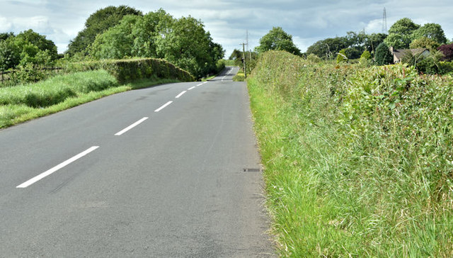
The Lower Ballyboley Road near Ballynure (July 2017)
A minor road, running approximately parallel to the Larne Belfast road. This stretch, at a height of just under 400ft, is close to the Lismenary Road J3195 : Road junction.
![Creative Commons Licence [Some Rights Reserved]](https://s1.geograph.org.uk/img/somerights20.gif)
|
· Find out How to reuse this image ·
Share:
|
|||||
| Start a discussion on J3195 | Suggest an update to this image | Contact the contributor | |||
Loading map... (JavaScript required)
- Grid Square
- J3195, 6 images (more nearby
 )
)
- Photographer
- Albert Bridge (find more nearby)
- Date Taken
- Tuesday, 11 July, 2017 (more nearby)
- Submitted
- Tuesday, 11 July, 2017
- Geographical Context
- Place (from Tags)
- Primary Subject of Photo
- Subject Location
-
Irish:
 J 313 951 [100m precision]
WGS84: 54:47.2386N 5:57.5639W - Camera Location
-
Irish: J 313 952
- View Direction
- South-southwest (about 202 degrees)
Other Tags
This page has been viewed about 46 times.
View this location:
KML (Google Earth) ·
Google Maps ·
Bing Maps ·
Geograph Coverage Map ·
More Links for this image
·
Bing Maps ·
Geograph Coverage Map ·
More Links for this image