2017
SO3177 : Bridleway to Bergam 1
taken 7 years ago, near to Hobarris, Shropshire, England
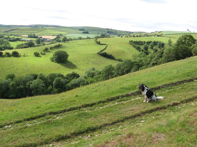
Bridleway to Bergam 1
A steep, grassy track descending into the valley.
 Map © Crown Copyright")
TIP: Click the map for more Large scale mapping
- Grid Square
- SO3177, 18 images (more nearby 🔍)
- Photographer
- Jonathan Wilkins (more nearby)
- Date Taken
- Saturday, 1 July, 2017 (more nearby)
- Submitted
- Wednesday, 2 August, 2017
- Subject Location
-
OSGB36:
 SO 3186 7781 [10m precision]
WGS84: 52:23.6430N 3:0.1673W - Camera Location
-
OSGB36: SO 3186 7781
- View Direction
- WEST (about 270 degrees)