J5951 : View South along Coach Road, Portaferry
taken 7 years ago, near to Portaferry, Co Down, Northern Ireland
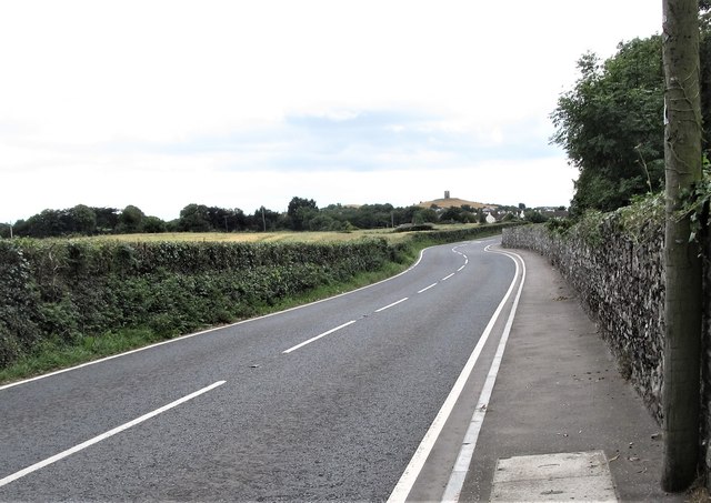
View South along Coach Road, Portaferry
The wall on the right is that of the Nugent's Estate Demesne. Portaferry Windmill is visible in the distance.
![Creative Commons Licence [Some Rights Reserved]](https://s1.geograph.org.uk/img/somerights20.gif)
|
· Find out How to reuse this image ·
Share:
|
|||||
| Start a discussion on J5951 | Suggest an update to this image | Contact the contributor | |||
Loading map... (JavaScript required)
- Grid Square
- J5951, 47 images (more nearby
 )
)
- Photographer
- Eric Jones (find more nearby)
- Date Taken
- Friday, 11 August, 2017 (more nearby)
- Submitted
- Monday, 14 August, 2017
- Geographical Context
- Subject Location
-
Irish:
 J 597 514 [100m precision]
WGS84: 54:23.2177N 5:32.4785W - Camera Location
-
Irish: J 597 516
- View Direction
- SOUTH (about 180 degrees)
This page has been viewed about 27 times.
View this location:
KML (Google Earth) ·
Google Maps ·
Bing Maps ·
Geograph Coverage Map ·
More Links for this image
·
Bing Maps ·
Geograph Coverage Map ·
More Links for this image