J5854 : Lane linking Ardquin CoI Parish Church with Marlfield Road
taken 7 years ago, 4 km NNW of Portaferry, Co Down, Northern Ireland
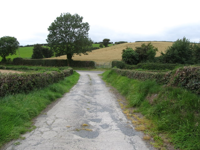
Lane linking Ardquin CoI Parish Church with Marlfield Road
Beyond the main road is a fine example of a drumlin.
![Creative Commons Licence [Some Rights Reserved]](https://s1.geograph.org.uk/img/somerights20.gif)
|
· Find out How to reuse this image ·
Share:
|
|||||
| Start a discussion on J5854 | Suggest an update to this image | Contact the contributor | |||
Loading map... (JavaScript required)
- Grid Square
- J5854, 25 images (more nearby
 )
)
- Photographer
- Eric Jones (find more nearby)
- Date Taken
- Friday, 11 August, 2017 (more nearby)
- Submitted
- Tuesday, 15 August, 2017
- Geographical Context
- Subject Location
-
Irish:
 J 585 543 [100m precision]
WGS84: 54:24.7813N 5:33.5404W - Camera Location
-
Irish: J 585 543
- View Direction
- Southwest (about 225 degrees)
This page has been viewed about 14 times.
View this location:
KML (Google Earth) ·
Google Maps ·
Bing Maps ·
Geograph Coverage Map ·
More Links for this image
·
Bing Maps ·
Geograph Coverage Map ·
More Links for this image