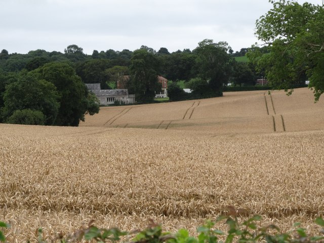
J5854 : Undulating grain fields between Ardquin Church and Thomastown House
taken 7 years ago, 3 km from Portaferry, Co Down, Northern Ireland
![Creative Commons Licence [Some Rights Reserved]](https://s1.geograph.org.uk/img/somerights20.gif)
|
· Find out How to reuse this image ·
Share:
|
|||||
| Start a discussion on J5854 | Suggest an update to this image | Contact the contributor | |||
Loading map... (JavaScript required)
- Grid Square
- J5854, 25 images (more nearby
 )
)
- Photographer
- Eric Jones (find more nearby)
- Date Taken
- Friday, 11 August, 2017 (more nearby)
- Submitted
- Tuesday, 15 August, 2017
- Geographical Context
- Subject Location
-
Irish:
 J 586 541 [100m precision]
WGS84: 54:24.6760N 5:33.3987W - Camera Location
-
Irish: J 585 543
- View Direction
- South-southeast (about 157 degrees)
This page has been viewed about 14 times.
View this location:
KML (Google Earth) ·
Google Maps ·
Bing Maps ·
Geograph Coverage Map ·
More Links for this image
·
Bing Maps ·
Geograph Coverage Map ·
More Links for this image