2017
SK7158 : Cutting the corner
taken 7 years ago, near to Winkburn, Nottinghamshire, England
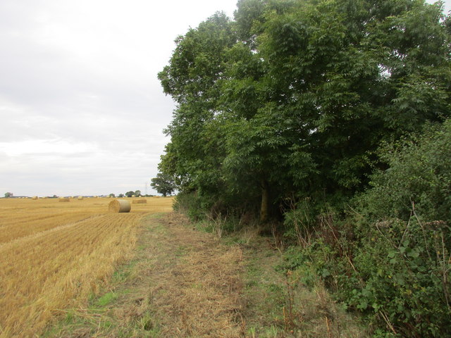
Cutting the corner
The footpath to Readyfield Farm passes to the right of the tree rather than going straight on and then turning right at the end of the hedge. This oddity is explained by field boundaries which have now disappeared.
 Map © Crown Copyright")
TIP: Click the map for more Large scale mapping
- Grid Square
- SK7158, 40 images (more nearby 🔍)
- Photographer
- Jonathan Thacker (more nearby)
- Date Taken
- Wednesday, 16 August, 2017 (more nearby)
- Submitted
- Wednesday, 16 August, 2017
- Subject Location
-
OSGB36:
 SK 7158 5898 [10m precision]
WGS84: 53:7.3918N 0:55.9092W - Camera Location
-
OSGB36: SK 7156 5897
- View Direction
- East-northeast (about 67 degrees)