2017
TQ3797 : Lee Navigation
taken 7 years ago, near to Sewardstone, Essex, England
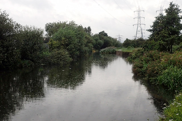
Lee Navigation
 Map © Crown Copyright")
TIP: Click the map for more Large scale mapping
- Grid Square
- TQ3797, 63 images (more nearby 🔍)
- Photographer
- Mick Garratt (more nearby)
- Date Taken
- Wednesday, 9 August, 2017 (more nearby)
- Submitted
- Saturday, 2 September, 2017
- Subject Location
-
OSGB36:
 TQ 3704 9711 [10m precision]
WGS84: 51:39.3648N 0:1.2188W - Camera Location
-
OSGB36: TQ 3705 9705
- View Direction
- North-northwest (about 337 degrees)