J2310 : Carlingford Lough
taken 7 years ago, near to Greenore, Co Louth, Ireland
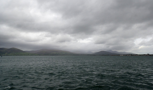
Carlingford Lough
View from the new Carlingford ferry between Greenore Co. Louth and Greencastle Co Down. Ominous looking sky over the Mourne Mountains as they sweep down to the sea.
![Creative Commons Licence [Some Rights Reserved]](https://s1.geograph.org.uk/img/somerights20.gif)
|
· Find out How to reuse this image ·
Share:
|
|||||
| Start a discussion on J2310 | Suggest an update to this image | Contact the contributor | |||
Loading map... (JavaScript required)
- Grid Square
- J2310, 7 images (more nearby
 )
)
- Photographer
- Robert Ashby (find more nearby)
- Date Taken
- Wednesday, 6 September, 2017 (more nearby)
- Submitted
- Saturday, 9 September, 2017
- Geographical Context
- Primary Subject of Photo
- Subject Location
-
Irish:
 J 235 108 [100m precision]
WGS84: 54:1.9338N 6:6.9467W - Camera Location
-
Irish: J 231 106
- View Direction
- East-northeast (about 67 degrees)
This page has been viewed about 38 times.
View this location:
KML (Google Earth) ·
Google Maps ·
Bing Maps ·
Geograph Coverage Map ·
More Links for this image
·
Bing Maps ·
Geograph Coverage Map ·
More Links for this image