2017
ST7667 : Start of fencing along A46
taken 7 years ago, near to Upper Swainswick, Bath And North East Somerset, England
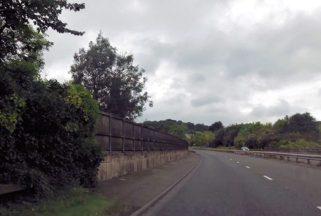
Start of fencing along A46
Near Pitland Farm
 Map © Crown Copyright")
TIP: Click the map for more Large scale mapping
- Grid Square
- ST7667, 67 images (more nearby 🔍)
- Photographer
- John Firth (more nearby)
- Date Taken
- Monday, 4 September, 2017 (more nearby)
- Submitted
- Monday, 11 September, 2017
- Subject Location
-
OSGB36:
 ST 7624 6783 [10m precision]
WGS84: 51:24.5394N 2:20.5800W - Camera Location
-
OSGB36: ST 7625 6779
- View Direction
- North-northwest (about 337 degrees)