2017
TQ0706 : Parham Fields
taken 7 years ago, near to Patching, West Sussex, England
Parham Fields
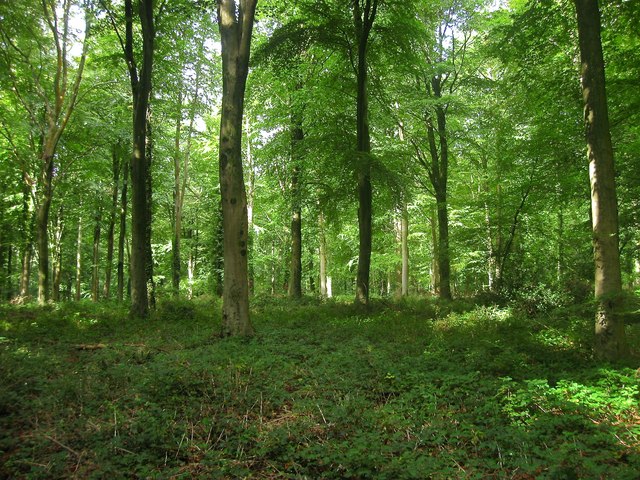
The name of the wood which points to the former land use prior to planting. located to the south of Selden Fields, another wood.
 Map © Crown Copyright")
TIP: Click the map for more Large scale mapping
- Grid Square
- TQ0706, 50 images (more nearby 🔍)
- Photographer
- Simon Carey (more nearby)
- Date Taken
- Sunday, 17 September, 2017 (more nearby)
- Submitted
- Wednesday, 20 September, 2017
- Subject Location
-
OSGB36:
 TQ 0757 0665 [10m precision]
WGS84: 50:50.9627N 0:28.3991W - Camera Location
-
OSGB36: TQ 0760 0663
- View Direction
- West-northwest (about 292 degrees)