NS3482 : The summit of Gouk Hill
taken 7 years ago, near to Dumfin, Argyll And Bute, Scotland
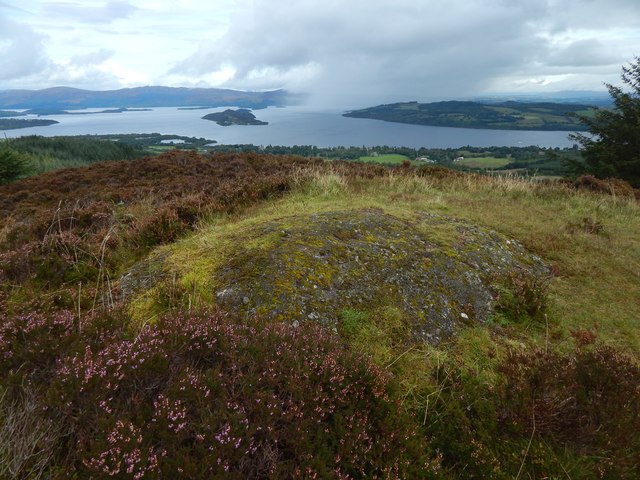
The hill, on the Highland Boundary Fault, has outcrops of puddingstone, which, at this site, is Inchmurrin Conglomerate. The hill is marked as "Gouckhill" on Roy's Military Survey of Scotland (1740s-50s); the same "Gouk" element appears to be present in the "Slewna gowack hill" shown on the 1654 Pont/Blaeu map of the Lennox. "Slewna" presumably represents the Gaelic "sliabh na" (on which, see below).
See Linkfor an annotated terrain map that shows the course of the Highland Boundary Fault in relation to Gouk Hill and other nearby features.
For a modern and in-depth account of the "sliabh" element, to which particular significance was attached in some earlier studies of place-names, see "Sliabh in Scottish Place-Names: its Meaning and Chronology", by Simon Taylor (University of Glasgow) on pages 99136 of Volume I (2007) of "The Journal of Scottish Name Studies": Link
 Map © Crown Copyright")
- Grid Square
- NS3482, 107 images (more nearby 🔍)
- Photographer
- Lairich Rig (more nearby)
- Date Taken
- Friday, 8 September, 2017 (more nearby)
- Submitted
- Wednesday, 20 September, 2017
- Subject Location
-
OSGB36:
 NS 3492 8298 [10m precision]
WGS84: 56:0.6743N 4:38.9701W - Camera Location
-
OSGB36: NS 3492 8298
- View Direction
- Northeast (about 45 degrees)