2016
SP2865 : Junction of Vine Lane and Lakin Court, Packmores, Warwick
taken 7 years ago, near to Warwick, Warwickshire, England
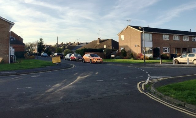
Junction of Vine Lane and Lakin Court, Packmores, Warwick
Vine Lane ahead and Lakin Court, right, are seen from the west end of Paradise Street. The name Packmores goes back centuries; it's remembered in parallel Packmores Street. A map of 1887 shows greenhouses: could they have been for a vine? Is Vine Lane related, or did it take its name from The Vine public house, now replaced by houses? It's all surmise there is no decent history of the modern town though plenty has been written about the historic centre, the Castle and the Castle Park.
 Map © Crown Copyright")
TIP: Click the map for more Large scale mapping
- Grid Square
- SP2865, 922 images (more nearby 🔍)
- Photographer
- Robin Stott (more nearby)
- Date Taken
- Saturday, 26 November, 2016 (more nearby)
- Submitted
- Wednesday, 20 September, 2017
- Subject Location
-
OSGB36:
 SP 2860 6565 [10m precision]
WGS84: 52:17.2948N 1:34.9279W - Camera Location
-
OSGB36: SP 2863 6562
- View Direction
- Northwest (about 315 degrees)