NS4759 : Farm track
taken 7 years ago, near to Gateside, East Renfrewshire, Scotland
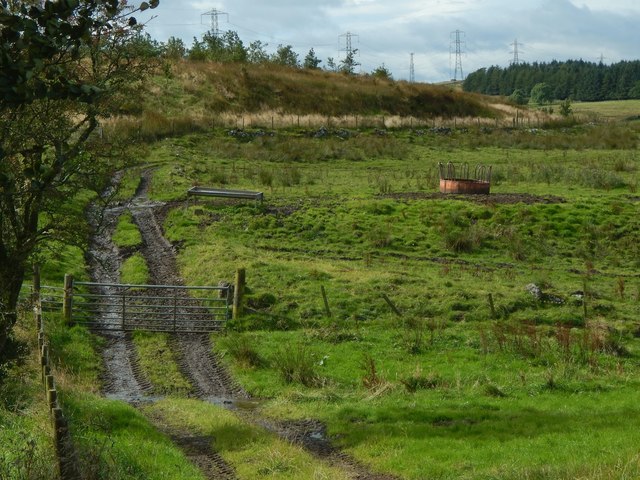
See NS4759 : Farm track for a view of the same area from the other side.
See the end-note for more details, and click on the end-note title for related pictures.
The dwelling-house of Duchallaw is marked on the first-edition 25-inch map, surveyed in 1858. Even by then, the buildings, which had earlier been a farmstead, were partly in ruins. The two buildings that were still roofed at that time were both rectangular; one was about 25 metres to the east of the other. The eastern building was oriented WSWENE, and the western one SSENNW (i.e., at right angles to the other). 50 metres further to the west, at NS47835969, in the corner of a field, was a small pool or well associated with the farm.
The portion that was already ruined by 1858 appears to have been an extension, to the WSW, of the eastern building, linking that building to the southern-eastern corner of the western building.
In 1858, the house was the property of John Graham, but it was occupied by Hugh Shedden. The Farm Horse Tax Rolls reveal that the occupant (or tenant farmer) in 1797 was James Brown. On OS maps, Duchallaw was a named but unroofed ruin by 1895; it was unnamed by 1912, and it had (on OS maps) disappeared altogether by 1940, if not earlier.
The farm does not appear in Roy's Military Survey of Scotland (c.1740s50s), but it is marked, in the unfamiliar guise of "Doughy Law"(*), on John Ainslie's 1796 "Map of the County of Renfrew", and as "Duchallow" on his 1821 "Map of the Southern Part of Scotland". It is "Duchallaw" on John Thomson's 1826 map of Renfrewshire (published in his 1832 "Atlas of Scotland").
(*) The name "Doughy Law" is likely to suggest a wrong pronunciation to modern readers who may think of "dough", as in bread-making; the actual pronunciation would have been [dɔ:xɪ], or something similar (IPA "x" denoting the sound of "ch" as in "loch"). "Duchallaw" was probably pronounced [ˈduxəlˠɔ:]. See Link for the small hill, with modern marker cairn, not far to the south.
 Map © Crown Copyright")
- Grid Square
- NS4759, 51 images (more nearby 🔍)
- Photographer
- Lairich Rig (more nearby)
- Date Taken
- Thursday, 14 September, 2017 (more nearby)
- Submitted
- Saturday, 23 September, 2017
- Subject Location
-
OSGB36:
 NS 4783 5969 [10m precision]
WGS84: 55:48.3866N 4:25.7716W - Camera Location
-
OSGB36: NS 4788 5970
- View Direction
- West-southwest (about 247 degrees)