2017
NO7098 : Catterloch Cottar House
taken 7 years ago, near to Upper Lochton, Aberdeenshire, Scotland
This is 1 of 3 images, with title Catterloch Cottar House in this square
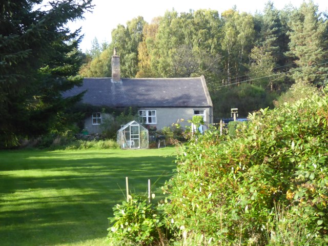
Catterloch Cottar House
As named on Magic.Defra map.
 Map © Crown Copyright")
TIP: Click the map for more Large scale mapping
- Grid Square
- NO7098, 41 images (more nearby 🔍)
- Photographer
- Stanley Howe (more nearby)
- Date Taken
- Friday, 29 September, 2017 (more nearby)
- Submitted
- Sunday, 1 October, 2017
- Subject Location
-
OSGB36:
 NO 7068 9829 [10m precision]
WGS84: 57:4.4815N 2:29.1144W - Camera Location
-
OSGB36: NO 7070 9824
- View Direction
- North-northwest (about 337 degrees)