2017
NY4836 : The M6 motorway, looking north
taken 7 years ago, near to Plumpton, Cumbria, England
This is 1 of 2 images, with title starting with The M6 in this square
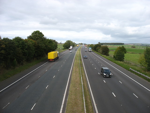
The M6 motorway, looking north
Seen from Plumpton Station Bridge. (Plumpton Station has of course long gone.)
M6 Motorway
The M6 motorway runs from junction 19 of the M1 at the Catthorpe Interchange, near Rugby to the Gretna junction (J45). Here it becomes the A74(M) and M74 which continues to Glasgow.
The M6 is the longest motorway in the United Kingdom (232 miles) and one of the busiest. It incorporates the first length of motorway opened in the UK (the Preston bypass in 1958) and forms part of a motorway "Backbone of Britain", running north-south between London and Glasgow via the industrial north of England. It is also part of the east-west route between the Midlands and the east coast ports.
 Map © Crown Copyright")
TIP: Click the map for more Large scale mapping
- Grid Square
- NY4836, 35 images (more nearby 🔍)
- Photographer
- David Purchase (more nearby)
- Date Taken
- Tuesday, 3 October, 2017 (more nearby)
- Submitted
- Tuesday, 3 October, 2017
- Subject Location
-
OSGB36:
 NY 4849 3693 [10m precision]
WGS84: 54:43.4825N 2:48.0767W - Camera Location
-
OSGB36: NY 4852 3672
- View Direction
- NORTH (about 0 degrees)