2017
TQ3465 : Fitzjames Avenue, Croydon
taken 7 years ago, near to Croydon, England
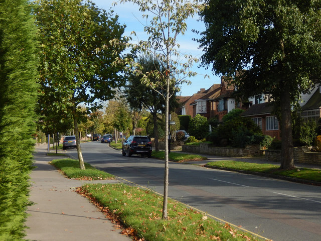
Fitzjames Avenue, Croydon
Seen from the junction with Sandilands, Fitzjames Avenue is one of the roads that constitute the upmarket Whitgift Foundation Estate. The houses on the right back on to Trinity School's playing field.
 Map © Crown Copyright")
TIP: Click the map for more Large scale mapping
- Grid Square
- TQ3465, 77 images (more nearby 🔍)
- Photographer
- Stephen McKay (more nearby)
- Date Taken
- Friday, 6 October, 2017 (more nearby)
- Submitted
- Monday, 9 October, 2017
- Subject Location
-
OSGB36:
 TQ 3418 6553 [10m precision]
WGS84: 51:22.3788N 0:4.4186W - Camera Location
-
OSGB36: TQ 3412 6553
- View Direction
- EAST (about 90 degrees)