2017
TA3118 : Flat farmland at Sunk Island
taken 7 years ago, 4 km S of Patrington, East Riding of Yorkshire, England
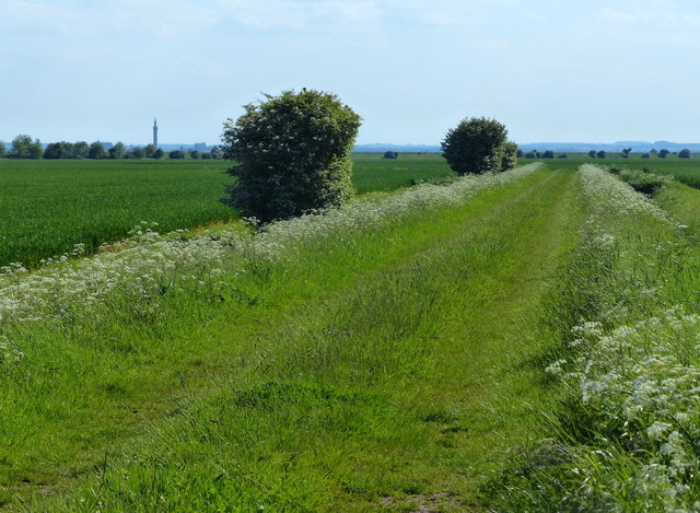
Flat farmland at Sunk Island
On the left horizon is the Grimsby Dock Tower, just over five miles away.
 Map © Crown Copyright")
TIP: Click the map for more Large scale mapping
- Grid Square
- TA3118, 11 images (more nearby 🔍)
- Photographer
- Mat Fascione (more nearby)
- Date Taken
- Tuesday, 23 May, 2017 (more nearby)
- Submitted
- Tuesday, 10 October, 2017
- Subject Location
-
OSGB36:
 TA 311 189 [100m precision]
WGS84: 53:39.0365N 0:1.0058W - Camera Location
-
OSGB36: TA 311 189
- View Direction
- South-southwest (about 202 degrees)