2017
SJ9214 : Lock and towpath bridge at Penkridge in Staffordshire
taken 7 years ago, near to Penkridge, Staffordshire, England
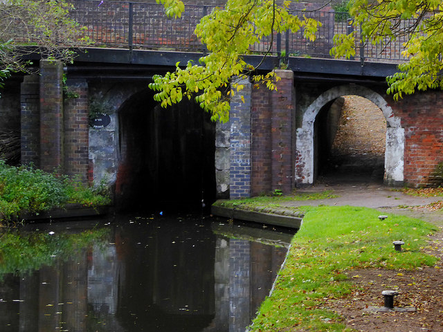
Lock and towpath bridge at Penkridge in Staffordshire
This is the Staffordshire and Worcestershire Canal, looking south at Penkridge Bridge (No 86) and Lock (No 38). The popular Boat Inn is off to the right.
 Map © Crown Copyright")
TIP: Click the map for more Large scale mapping
- Grid Square
- SJ9214, 254 images (more nearby 🔍)
- Photographer
- Roger D Kidd (more nearby)
- Date Taken
- Saturday, 7 October, 2017 (more nearby)
- Submitted
- Friday, 13 October, 2017
- Subject Location
-
OSGB36:
 SJ 9283 1404 [10m precision]
WGS84: 52:43.4375N 2:6.4559W - Camera Location
-
OSGB36: SJ 9283 1406
- View Direction
- SOUTH (about 180 degrees)