2017
TA1159 : Drain at Barfhill Bridge
taken 7 years ago, near to Gransmoor, East Riding of Yorkshire, England
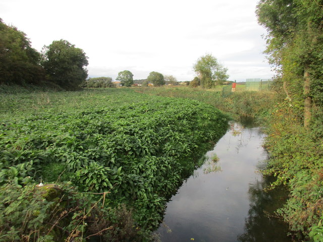
Drain at Barfhill Bridge
Looking towards the re-opened garvel quarry.
Barfhill is tautologous; barf (often barff) means hill.
Barfhill is tautologous; barf (often barff) means hill.
 Map © Crown Copyright")
TIP: Click the map for more Large scale mapping
- Grid Square
- TA1159, 13 images (more nearby 🔍)
- Photographer
- Jonathan Thacker (more nearby)
- Date Taken
- Friday, 13 October, 2017 (more nearby)
- Submitted
- Friday, 13 October, 2017
- Subject Location
-
OSGB36:
 TA 1139 5916 [10m precision]
WGS84: 54:0.9862N 0:18.0881W - Camera Location
-
OSGB36: TA 1141 5910
- View Direction
- North-northwest (about 337 degrees)