2017
SJ1938 : Junction of lanes below Y Foel
taken 7 years ago, near to Glyn Ceiriog, Wrexham/Wrecsam, Wales
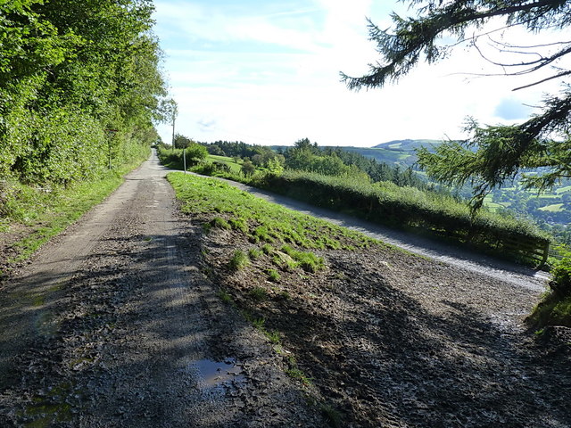
Junction of lanes below Y Foel
In road rally speak, this would be called as "down the bank, or straight on to handbrake right"
 Map © Crown Copyright")
TIP: Click the map for more Large scale mapping
- Grid Square
- SJ1938, 14 images (more nearby 🔍)
- Photographer
- Richard Law (more nearby)
- Date Taken
- Tuesday, 19 September, 2017 (more nearby)
- Submitted
- Saturday, 14 October, 2017
- Subject Location
-
OSGB36:
 SJ 1944 3871 [10m precision]
WGS84: 52:56.3828N 3:12.0106W - Camera Location
-
OSGB36: SJ 19411 38707
- View Direction
- East-northeast (about 67 degrees)