2017
SK4840 : Once the Nottingham Canal
taken 7 years ago, near to Trowell, Nottinghamshire, England
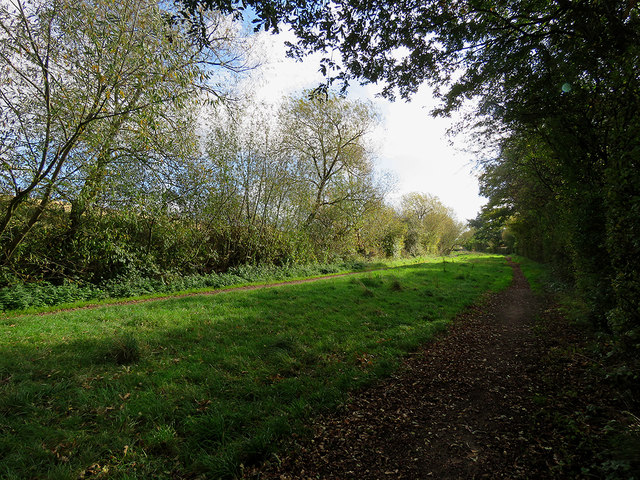
Once the Nottingham Canal
The Nottingham Canal was abandoned in the 1930s and this filled-in section is now a nature reserve. Here there are two paths, for walkers and for horses.
 Map © Crown Copyright")
TIP: Click the map for more Large scale mapping
- Grid Square
- SK4840, 52 images (more nearby 🔍)
- Photographer
- John Sutton (more nearby)
- Date Taken
- Saturday, 14 October, 2017 (more nearby)
- Submitted
- Monday, 16 October, 2017
- Subject Location
-
OSGB36:
 SK 4827 4006 [10m precision]
WGS84: 52:57.3450N 1:16.9761W - Camera Location
-
OSGB36: SK 4819 4010
- View Direction
- East-southeast (about 112 degrees)