R7716 : Road (L5631) from Booladurragha to Gortroe (Mitchelstown) and R517
taken 6 years ago, 4 km E of Knockanevin, Co Cork, Ireland
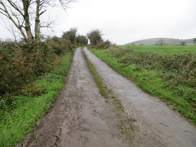
Road (L5631) from Booladurragha to Gortroe (Mitchelstown) and R517
Looking north-westward.
![Creative Commons Licence [Some Rights Reserved]](https://s1.geograph.org.uk/img/somerights20.gif)
|
· Find out How to reuse this image ·
Share:
|
|||||
| Start a discussion on R7716 | Suggest an update to this image | Contact the contributor | |||
Loading map... (JavaScript required)
- Grid Square
- R7716 (more nearby
 )
)
- Photographer
- Peter Wood (find more nearby)
- Date Taken
- Tuesday, 24 October, 2017 (more nearby)
- Submitted
- Saturday, 28 October, 2017
- Geographical Context
- Primary Subject of Photo
- Subject Location
-
Irish:
 R 77379 16100 [1m precision]
WGS84: 52:17.7938N 8:19.9374W - Camera Location
-
Irish: R 77407 16069
- View Direction
- Northwest (about 315 degrees)
This page has been viewed about 41 times.
View this location:
KML (Google Earth) ·
Google Maps ·
Bing Maps ·
Geograph Coverage Map ·
More Links for this image
·
Bing Maps ·
Geograph Coverage Map ·
More Links for this image