2017
SN4100 : Explosive Store Pembrey Burrows
taken 6 years ago, near to Pembrey, Carmarthenshire/Sir Gaerfyrddin, Wales
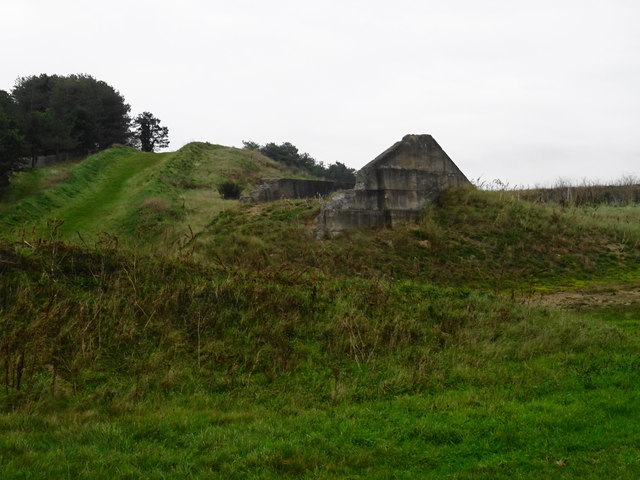
Explosive Store Pembrey Burrows
Pembrey Burrows was used as an explosives factory site from the 1880s, expanded in 1915 for cordite production and shell filling then re-used again in the Second World War and remained as a Royal Ordnance Factory until converted into the Country Park.
 Map © Crown Copyright")
TIP: Click the map for more Large scale mapping
- Grid Square
- SN4100, 25 images (more nearby 🔍)
- Photographer
- John M (more nearby)
- Date Taken
- Thursday, 2 November, 2017 (more nearby)
- Submitted
- Thursday, 2 November, 2017
- Subject Location
-
OSGB36:
 SN 410 001 [100m precision]
WGS84: 51:40.6324N 4:18.0108W - Camera Location
-
OSGB36: SN 410 001
- View Direction
- East-northeast (about 67 degrees)