2017
SN4203 : Road to Pinged
taken 6 years ago, near to Pembrey Airport / Maes Awyr Pen-Bre, Carmarthenshire/Sir Gaerfyrddin, Wales
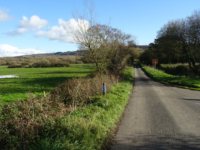
Road to Pinged
The NCN 4 cycleway takes a narrow lane to the right towards Pembrey.
 Map © Crown Copyright")
TIP: Click the map for more Large scale mapping
- Grid Square
- SN4203, 8 images (more nearby 🔍)
- Photographer
- John M (more nearby)
- Date Taken
- Saturday, 4 November, 2017 (more nearby)
- Submitted
- Saturday, 4 November, 2017
- Subject Location
-
OSGB36:
 SN 420 039 [100m precision]
WGS84: 51:42.7132N 4:17.2826W - Camera Location
-
OSGB36: SN 420 039
- View Direction
- East-southeast (about 112 degrees)