2017
SK3131 : Track off Bakeacre Lane
taken 6 years ago, near to Findern, Derbyshire, England
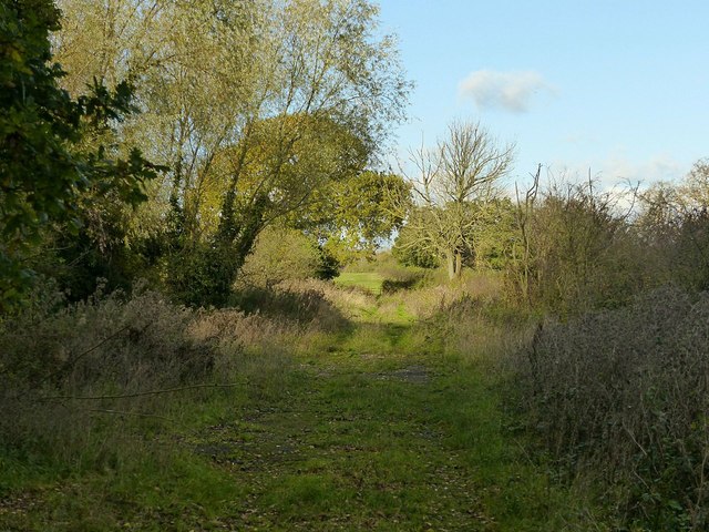
Track off Bakeacre Lane
Giving access to a number of fields, and probably created at the time of enclosures.
It is however gated off the road and is not a right of way.
It is however gated off the road and is not a right of way.
 Map © Crown Copyright")
TIP: Click the map for more Large scale mapping
- Grid Square
- SK3131, 14 images (more nearby 🔍)
- Photographer
- Alan Murray-Rust (more nearby)
- Date Taken
- Sunday, 5 November, 2017 (more nearby)
- Submitted
- Thursday, 9 November, 2017
- Subject Location
-
OSGB36:
 SK 3115 3139 [10m precision]
WGS84: 52:52.7448N 1:32.3153W - Camera Location
-
OSGB36: SK 3119 3132
- View Direction
- North-northwest (about 337 degrees)