D3705 : Near Ballygally
taken 6 years ago, near to Ballygalley, Co Antrim, Northern Ireland
This is 1 of 2 images, with title Near Ballygally in this square
Near Ballygally
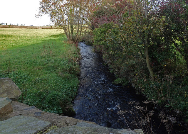
A small unnamed burn from McKillop's Bridge as it flows to the Irish Sea at Ballygally.
![Creative Commons Licence [Some Rights Reserved]](https://s1.geograph.org.uk/img/somerights20.gif)
|
· Find out How to reuse this image ·
Share:
|
|||||
| Start a discussion on D3705 | Suggest an update to this image | Contact the contributor | |||
Loading map... (JavaScript required)
- Grid Square
- D3705, 7 images (more nearby
 )
)
- Photographer
- Robert Ashby (find more nearby)
- Date Taken
- Thursday, 9 November, 2017 (more nearby)
- Submitted
- Saturday, 11 November, 2017
- Geographical Context
- Subject Location
-
Irish:
 D 370 059 [100m precision]
WGS84: 54:52.9259N 5:51.9188W - Camera Location
-
Irish: D 370 059
- View Direction
- Southwest (about 225 degrees)
This page has been viewed about 12 times.
View this location:
KML (Google Earth) ·
Google Maps ·
Bing Maps ·
Geograph Coverage Map ·
More Links for this image
·
Bing Maps ·
Geograph Coverage Map ·
More Links for this image