2017
NS4604 : Farmhouse at Dalcairnie
taken 7 years ago, near to Dalcairney, East Ayrshire, Scotland
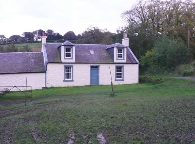
Farmhouse at Dalcairnie
The position of the blue star on the 'Explorer' map misled me into thinking that the waterfall is behind the farmstead, but it is up the lane to the right.
 Map © Crown Copyright")
TIP: Click the map for more Large scale mapping
- Grid Square
- NS4604, 20 images (more nearby 🔍)
- Photographer
- Humphrey Bolton (more nearby)
- Date Taken
- Thursday, 12 October, 2017 (more nearby)
- Submitted
- Wednesday, 29 November, 2017
- Subject Location
-
OSGB36:
 NS 4663 0443 [10m precision]
WGS84: 55:18.5990N 4:25.0786W - Camera Location
-
OSGB36: NS 4662 0445
- View Direction
- South-southeast (about 157 degrees)