O1740 : M50 passing Airways Industrial Estate
taken 7 years ago, near to Santry, Dublin, Ireland
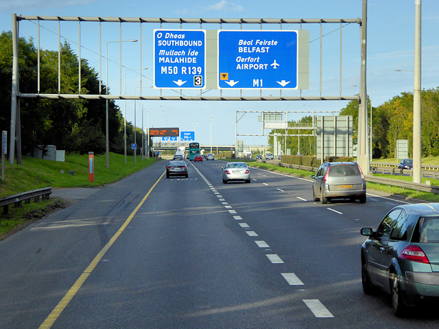
M50 passing Airways Industrial Estate
The M50 motorway is a C-shaped orbital motorway around the western side of Dublin; it is the busiest motorway in Ireland. The road, which begins at Dublin Port, running northward through the Dublin Port Tunnel and along a portion of the Airport Motorway, was built in various sections between 1983 and 2010. The road forms part of European route E01.
See other images of M50 Motorway (Ireland)
See other images of M50 Motorway (Ireland)
![Creative Commons Licence [Some Rights Reserved]](https://s1.geograph.org.uk/img/somerights20.gif)
|
· Find out How to reuse this image ·
Share:
|
|||||
| Start a discussion on O1740 | Suggest an update to this image | Contact the contributor | |||
Loading map... (JavaScript required)
- Grid Square
- O1740, 9 images (more nearby
 )
)
- Photographer
- David Dixon (find more nearby)
- Date Taken
- Sunday, 24 September, 2017 (more nearby)
- Submitted
- Saturday, 2 December, 2017
- Geographical Context
- Camera (from Tags)
- Motorway (from Tags)
- Subject Location
-
Irish:
 O 175 406 [100m precision]
WGS84: 53:24.1982N 6:13.9808W - Camera Location
-
Irish: O 175 406
- View Direction
- North-northeast (about 22 degrees)
Other Tags
This page has been viewed about 87 times.
View this location:
KML (Google Earth) ·
Google Maps ·
Bing Maps ·
Geograph Coverage Map ·
More Links for this image
·
Bing Maps ·
Geograph Coverage Map ·
More Links for this image