2017
TA2032 : Nuttles Drain
taken 6 years ago, near to Lelley, East Riding of Yorkshire, England
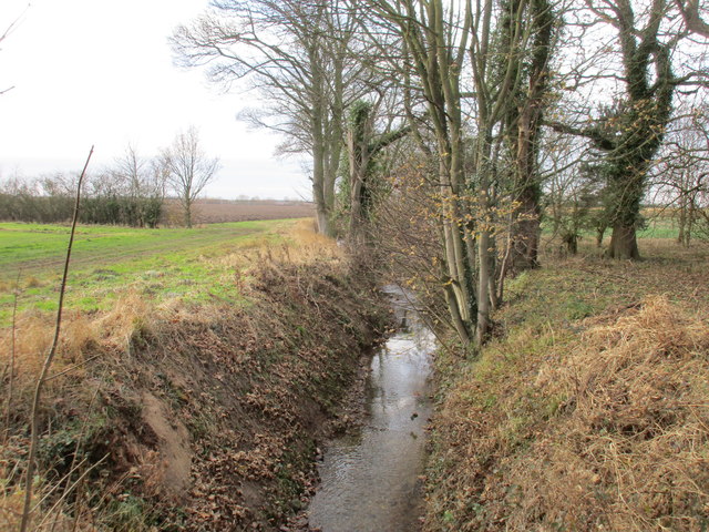
Nuttles Drain
Or is it Sproatley Drain at this point? This drain seems to change its name every kilometre or so being also known as Fox Covert Drain, Lelley Drain and Wyton Drain.
 Map © Crown Copyright")
TIP: Click the map for more Large scale mapping
- Grid Square
- TA2032, 29 images (more nearby 🔍)
- Photographer
- Jonathan Thacker (more nearby)
- Date Taken
- Saturday, 9 December, 2017 (more nearby)
- Submitted
- Saturday, 9 December, 2017
- Subject Location
-
OSGB36:
 TA 2015 3289 [10m precision]
WGS84: 53:46.7091N 0:10.6886W - Camera Location
-
OSGB36: TA 2019 3290
- View Direction
- West-southwest (about 247 degrees)