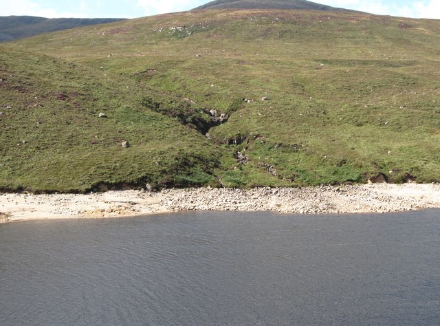
J3024 : Miners' Hole River descending towards the Silent Valley Reservoir
taken 8 years ago, 5 km NNE of Attical, Co Down, Northern Ireland
![Creative Commons Licence [Some Rights Reserved]](https://s1.geograph.org.uk/img/somerights20.gif)
|
· Find out How to reuse this image ·
Share:
|
|||||
| Start a discussion on J3024 | Suggest an update to this image | Contact the contributor | |||
Loading map... (JavaScript required)
- Grid Square
- J3024, 30 images (more nearby
 )
)
- Photographer
- Eric Jones (find more nearby)
- Date Taken
- Sunday, 28 August, 2016 (more nearby)
- Submitted
- Tuesday, 12 December, 2017
- Geographical Context
- Subject Location
-
Irish:
 J 303 243 [100m precision]
WGS84: 54:9.0899N 6:0.3764W - Camera Location
-
Irish: J 306 243
- View Direction
- WEST (about 270 degrees)
This page has been viewed about 27 times.
View this location:
KML (Google Earth) ·
Google Maps ·
Bing Maps ·
Geograph Coverage Map ·
More Links for this image
·
Bing Maps ·
Geograph Coverage Map ·
More Links for this image