B7711 : Dungloe
taken 7 years ago, near to Dunglow, Co Donegal, Ireland
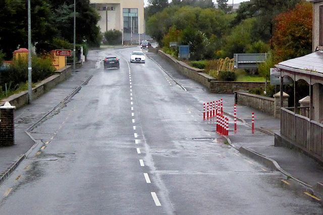
Dungloe
An Clochán Liath (called Dungloe or Dunglow in English) is a Gaeltacht Link town in County Donegal. It is the main town in The Rosses region. Dungloe developed as a town in the middle of the 18th century, and now serves as the administrative and retail centre for the west of County Donegal, and in particular The Rosses, with the only mainland secondary school for the area (Wikipedia).
![Creative Commons Licence [Some Rights Reserved]](https://s1.geograph.org.uk/img/somerights20.gif)
|
· Find out How to reuse this image ·
Share:
|
|||||
| Start a discussion on B7711 | Suggest an update to this image | Contact the contributor | |||
Loading map... (JavaScript required)
- Grid Square
- B7711, 30 images (more nearby
 )
)
- Photographer
- David Dixon (find more nearby)
- Date Taken
- Wednesday, 27 September, 2017 (more nearby)
- Submitted
- Friday, 9 February, 2018
- Geographical Context
- Road (from Tags)
- Camera (from Tags)
- Subject Location
-
Irish:
 B 770 118 [100m precision]
WGS84: 54:57.1942N 8:21.5744W - Camera Location
-
Irish: B 770 117
- View Direction
- North-northwest (about 337 degrees)
Other Tags
This page has been viewed about 41 times.
View this location:
KML (Google Earth) ·
Google Maps ·
Bing Maps ·
Geograph Coverage Map ·
More Links for this image