C4934 : R240, Lemacrossan
taken 7 years ago, 4 km NW of Quigley's Point, Co Donegal, Ireland
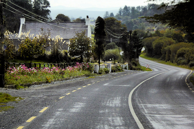
R240, Lemacrossan
Running for just less than 10 miles, the R240 is an Irish regional road on the Inishowen Peninsula in County Donegal which directly connects two places on the near-circular R238: Quigley's Point in the south and Carndonagh in the north.
See other images of Irish Regional Road R240
See other images of Irish Regional Road R240
![Creative Commons Licence [Some Rights Reserved]](https://s1.geograph.org.uk/img/somerights20.gif)
|
· Find out How to reuse this image ·
Share:
|
|||||
| Start a discussion on C4934 | Suggest an update to this image | Contact the contributor | |||
Loading map... (JavaScript required)
- Grid Square
- C4934, 5 images (more nearby
 )
)
- Photographer
- David Dixon (find more nearby)
- Date Taken
- Tuesday, 26 September, 2017 (more nearby)
- Submitted
- Sunday, 18 February, 2018
- Geographical Context
- Camera (from Tags)
- Road (from Tags)
- Subject Location
-
Irish:
 C 490 340 [100m precision]
WGS84: 55:9.0723N 7:13.9122W - Camera Location
-
Irish: C 490 341
- View Direction
- South-southeast (about 157 degrees)
Other Tags
This page has been viewed about 42 times.
View this location:
KML (Google Earth) ·
Google Maps ·
Bing Maps ·
Geograph Coverage Map ·
More Links for this image
·
Bing Maps ·
Geograph Coverage Map ·
More Links for this image