J0822 : The southern section of Barracric Road
taken 6 years ago, 4 km S of Newry, Co Down, Northern Ireland
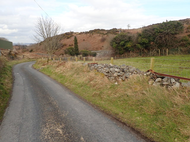
The southern section of Barracric Road
Barracric Road links Brogies Road and Flagstaff Road, but is used mainly as a local access road. Beyond the bend Barracric Road crosses the Belfast-Dublin railway line.
![Creative Commons Licence [Some Rights Reserved]](https://s1.geograph.org.uk/img/somerights20.gif)
|
· Find out How to reuse this image ·
Share:
|
|||||
| Start a discussion on J0822 | Suggest an update to this image | Contact the contributor | |||
Loading map... (JavaScript required)
- Grid Square
- J0822, 66 images (more nearby
 )
)
- Photographer
- Eric Jones (find more nearby)
- Date Taken
- Tuesday, 13 March, 2018 (more nearby)
- Submitted
- Sunday, 18 March, 2018
- Geographical Context
- Subject Location
-
Irish:
 J 085 224 [100m precision]
WGS84: 54:8.4021N 6:20.4164W - Camera Location
-
Irish: J 085 224
- View Direction
- North-northeast (about 22 degrees)
This page has been viewed about 11 times.
View this location:
KML (Google Earth) ·
Google Maps ·
Bing Maps ·
Geograph Coverage Map ·
More Links for this image
·
Bing Maps ·
Geograph Coverage Map ·
More Links for this image