W3684 : The Butter Road
taken 6 years ago, 4 km N of Ballinagree, Co Cork, Ireland
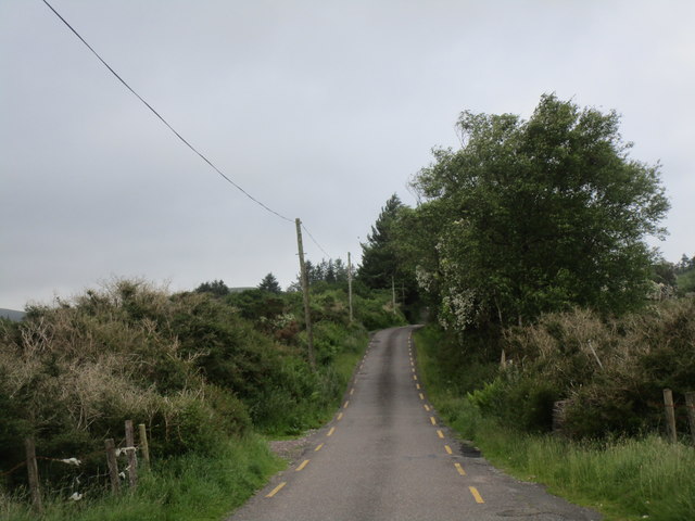
The Butter Road
Looking in the direction of Millstreet.
The Butter Road was a turnpike built in the eighteenth century to enable Kerry farmers take butter to market in Cork.
The Butter Road was a turnpike built in the eighteenth century to enable Kerry farmers take butter to market in Cork.
![Creative Commons Licence [Some Rights Reserved]](https://s1.geograph.org.uk/img/somerights20.gif)
|
· Find out How to reuse this image ·
Share:
|
|||||
| Start a discussion on W3684 | Suggest an update to this image | Contact the contributor | |||
Loading map... (JavaScript required)
- Grid Square
- W3684, 2 images (more nearby
 )
)
- Photographer
- Jonathan Thacker (find more nearby)
- Date Taken
- Tuesday, 19 June, 2018 (more nearby)
- Submitted
- Wednesday, 20 June, 2018
- Geographical Context
- Subject Location
-
Irish:
 W 365 847 [100m precision]
WGS84: 52:0.6949N 8:55.4542W - Camera Location
-
Irish: W 366 847
- View Direction
- Northwest (about 315 degrees)
Other Tags
This page has been viewed about 40 times.
View this location:
KML (Google Earth) ·
Google Maps ·
Bing Maps ·
Geograph Coverage Map ·
More Links for this image
·
Bing Maps ·
Geograph Coverage Map ·
More Links for this image