2018
ND1999 : Moor Fea
taken 6 years ago, near to Rackwick, Hoy, Orkney Islands, Scotland
This is 1 of 2 images, with title Moor Fea in this square
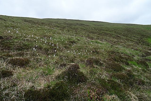
Moor Fea
The rather featureless southern slopes of Moor Fea (304 metres) above Rackwick.
 Map © Crown Copyright")
TIP: Click the map for more Large scale mapping
- Grid Square
- ND1999, 60 images (more nearby 🔍)
- Photographer
- Anne Burgess (more nearby)
- Date Taken
- Monday, 11 June, 2018 (more nearby)
- Submitted
- Thursday, 21 June, 2018
- Subject Location
-
OSGB36:
 ND 1926 9934 [10m precision]
WGS84: 58:52.4292N 3:24.1184W - Camera Location
-
OSGB36: ND 1924 9909
- View Direction
- NORTH (about 0 degrees)