M7291 : Ireland in ruins: French Park Smokehouse, Co. Roscommon (2)
taken 6 years ago, near to Frenchpark, Co Roscommon, Ireland
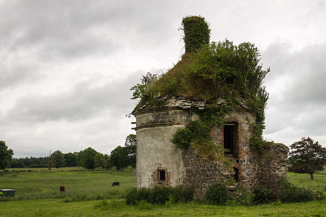
Ireland in ruins: French Park Smokehouse, Co. Roscommon (2)
![Creative Commons Licence [Some Rights Reserved]](https://s1.geograph.org.uk/img/somerights20.gif)
|
· Find out How to reuse this image ·
Share:
|
|||||
| Start a discussion on M7291 | Suggest an update to this image | Contact the contributor | |||
Loading map... (JavaScript required)
- Grid Square
- M7291, 5 images (more nearby
 )
)
- Photographer
- Mike Searle (find more nearby)
- Date Taken
- Sunday, 10 June, 2018 (more nearby)
- Submitted
- Tuesday, 3 July, 2018
- Geographical Context
- Subject Location
-
Irish:
 M 7276 9196 [10m precision]
WGS84: 53:52.5890N 8:24.8940W - Camera Location
-
Irish: M 7279 9198
- View Direction
- West-southwest (about 247 degrees)
Other Tags
This page has been viewed about 114 times.
View this location:
KML (Google Earth) ·
Google Maps ·
Bing Maps ·
Geograph Coverage Map ·
More Links for this image
·
Bing Maps ·
Geograph Coverage Map ·
More Links for this image