2018
SD9897 : Barn close to valley floor of Swaledale
taken 6 years ago, near to Low Row, North Yorkshire, England
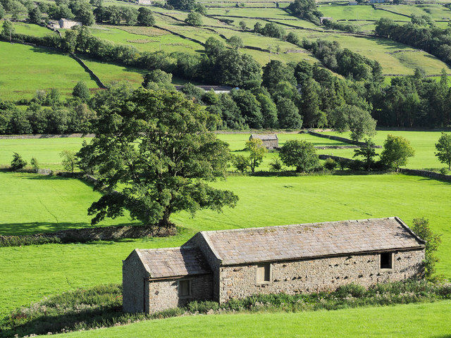
Barn close to valley floor of Swaledale
Fields on the flat valley bottom of Swaledale flood on occasion making them water meadows. The barn seen in the distance would presumably be affected by such flooding whereas the near one would be sufficiently high to be above any flood water.
 Map © Crown Copyright")
TIP: Click the map for more Large scale mapping
- Grid Square
- SD9897, 55 images (more nearby 🔍)
- Photographer
- Trevor Littlewood (more nearby)
- Date Taken
- Saturday, 25 August, 2018 (more nearby)
- Submitted
- Monday, 27 August, 2018
- Subject Location
-
OSGB36:
 SD 9813 9777 [10m precision]
WGS84: 54:22.5258N 2:1.8175W - Camera Location
-
OSGB36: SD 9811 9784
- View Direction
- South-southeast (about 157 degrees)