S0626 : R670
taken 6 years ago, near to Caher, Co Tipperary, Ireland
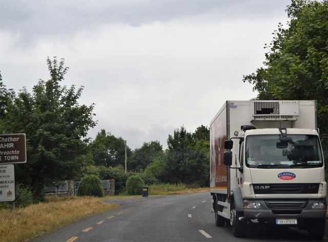
R670
The R670 in County Tipperary runs 11.5km from the N24 at Cloghabreedy, 3 km north of Cahir, through the town centre and on south to the R665 at Ardfinnan.
See other images of R670 Road
See other images of R670 Road
![Creative Commons Licence [Some Rights Reserved]](https://s1.geograph.org.uk/img/somerights20.gif)
|
· Find out How to reuse this image ·
Share:
|
|||||
| Start a discussion on S0626 | Suggest an update to this image | Contact the contributor | |||
Loading map... (JavaScript required)
- Grid Square
- S0626, 2 images (more nearby
 )
)
- Photographer
- N Chadwick (find more nearby)
- Date Taken
- Friday, 27 July, 2018 (more nearby)
- Submitted
- Wednesday, 12 September, 2018
- Geographical Context
- Subject Location
-
Irish:
 S 060 261 [100m precision]
WGS84: 52:23.2279N 7:54.7123W - Camera Location
-
Irish: S 060 261
- View Direction
- South-southwest (about 202 degrees)
This page has been viewed about 47 times.
View this location:
KML (Google Earth) ·
Google Maps ·
Bing Maps ·
Geograph Coverage Map ·
More Links for this image
·
Bing Maps ·
Geograph Coverage Map ·
More Links for this image