M6079 : Bridleway Track between Cloonconra and Mountain Lower
taken 6 years ago, 4 km NE of Ballinlough, Co Roscommon, Ireland
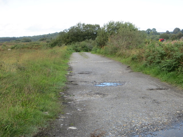
Bridleway Track between Cloonconra and Mountain Lower
Looking north-westward. The track forms part of one of the National Looped Walks - Lough O'Flynn Loop. For more detail see : Link
![Creative Commons Licence [Some Rights Reserved]](https://s1.geograph.org.uk/img/somerights20.gif)
|
· Find out How to reuse this image ·
Share:
|
|||||
| Start a discussion on M6079 | Suggest an update to this image | Contact the contributor | |||
Loading map... (JavaScript required)
- Grid Square
- M6079 (more nearby
 )
)
- Photographer
- Peter Wood (find more nearby)
- Date Taken
- Wednesday, 12 September, 2018 (more nearby)
- Submitted
- Sunday, 16 September, 2018
- Geographical Context
- Primary Subject of Photo
- Subject Location
-
Irish:
 M 60626 79947 [1m precision]
WGS84: 53:46.0670N 8:35.8704W - Camera Location
-
Irish: M 60656 79907
- View Direction
- Northwest (about 315 degrees)
This page has been viewed about 37 times.
View this location:
KML (Google Earth) ·
Google Maps ·
Bing Maps ·
Geograph Coverage Map ·
More Links for this image